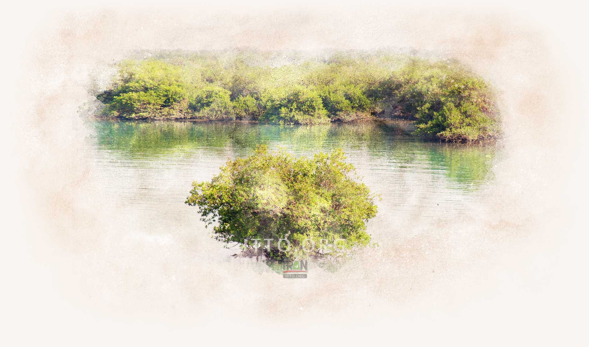
The mangrove forests of Qeshm Island or Hara forests are among the wonders of
Qeshm Island, located in the Strait of Khavaran, between Qeshm Island and Hormuzgan Province in Persian Gulf, the south of Iran. These forests are not specific to Qeshm Island, as they also extend to Port of Pohl, the
Hormuz Island, and Khamir Port. Covering an area of about 2,400 hectares, the Hara Forest of Qeshm is the largest forest among Iran's 8 Hara forests. The Hara forests constitute a national protected area and an international lagoon, registered as
UNESCO biosphere reserves.
Mangrove forests are unique wetland ecosystems that are established directly in theintertidal zone. Mangrove forests of southern Iran mainly consist of Avicennia marina, aspecies that was named after the
great Iranian scientist, Avicennia (or
Abu-Ali Sina).
The Harra forest is a mangrove forest that is only found in coastal areas in tropical regions. Athigh tide, the tree coverage may only be seen above the water level (salt water), while the rest ofthe tree parts are underneath the water. Only at low tide, one can see the trunk and aerial roots ofmangroves. Mangrove forests can easily grow in salt water. Mangroves may have been floweringplants that were pushed to their limits due to lack of capacity in competing with other terrestrialplants. They have then adapted to the difficult conditions of the intertidal zone, which has formedthis unique ecosystem.

The Hara forests, covering an area of 27,310 hectares in southern Iran, is a key biodiversity site due to its remarkable Avicennia mangrove ecosystem.
The lifespan of the Mangrove forest is 30 to 40 million years. For many years, the trees have been submerged in the sea, and they emerge from the water after the onset of the tide. This is the secret of the charm of this forest. These trees survive easily in brackish water because they do not absorb salt from the water and use freshwater; in other words, they act like a desalination plant. Mangroves are always green.
The picture of green mangrove trees in the blue sea is spectacular. The trunks of the trees are submerged in water, leaving only the upper foliage above them; it is as if the trees are floating on the water.
When the cold season arrives, it will become a paradise for birdwatchers! Many migratory birds spend their winters in Qeshm. The number of birds in this area reaches more than 100 species. The birds are such as cuckoos, egrets, gray Salim, etc. When the water goes down, then the roots of the trees appear, you can walk on the trees. Of course, you must wear boots and be ready for an adventure in the mud.

In some other protected areas on the shore of the Persian Gulf and is also a Mangrove or Hara forest, but Qeshm Hara forest is bigger than the others and more attractive due to its proximity to the residential areas of the island.
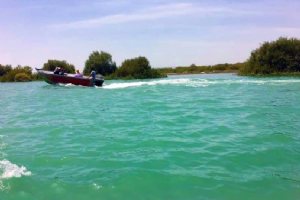
To see the mangrove trees of Qeshm, you have to reach the Tabal village wharf, Soheili wharf, or Bandar-e-Laft and enter the forest by boat. With the rise of the sea level water, you can take a boat and go into the middle of the forest.


 Fullscreen Map


")


 Loading... Please wait


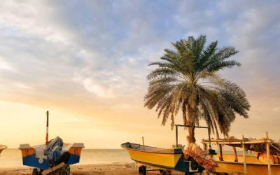
 - Qeshm Island")


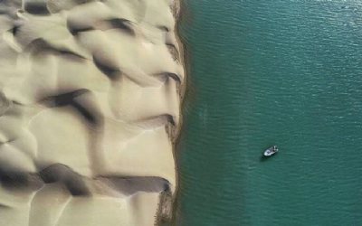

 in Qeshm Island")


 in Fooman")
 in Chabahar")

 Historical Cave in Saqez")

 Please wait