Tourist Attraction

Fahliyan River

Related to Mamasani city (located in Fars province)
Also known as: Fahlian River, Fahlyan River
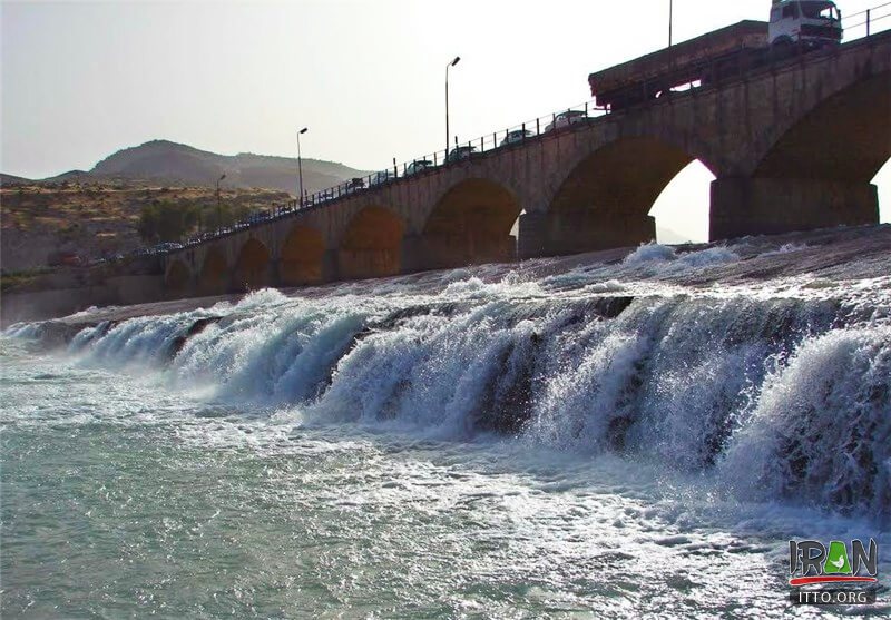
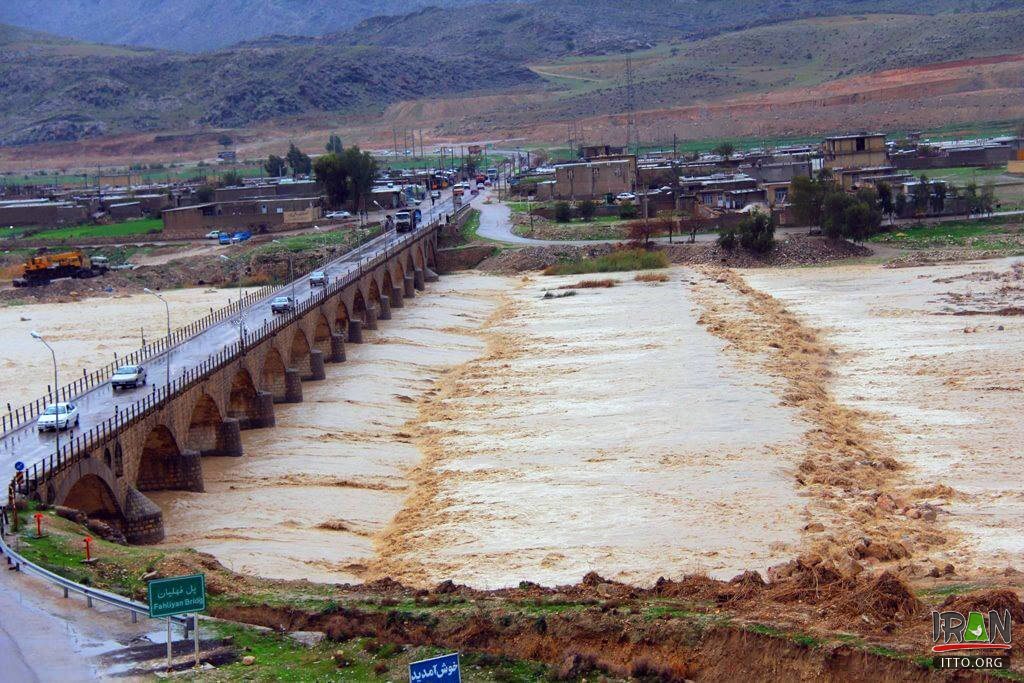
Fahliyan River is formed by the adjoining of the "Shesh Peer" and "Rood Peer" Rivers and after passing the Qaleh Sefid Mount, enters the Fahlian Plain. This river irrigates a vast area of the region crosses a deep valley called the "Tang-e-Abjan" and in a region named Bardangan, joins the Katikoor River. It finally flows to south and creates the natural ...
Fullscreen Map
Fahlian River,Fahlyan River,Fahlian,fahilan,fahylan,fahilan river,فهیلان ریور,فهلیان ریور,rood fahilan,رودفهیلان,رودفهلیان,fahlian river
Fahliyan River
This river irrigates a vast area of the region crosses a deep valley called the "Tang-e-Abjan" and in a region named Bardangan, joins the Katikoor River.
Fahlian River,Fahlyan River,Fahlian,fahilan,fahylan,fahilan river,فهیلان ریور,فهلیان ریور,rood fahilan,رودفهیلان,رودفهلیان,fahlian river
Fahliyan River
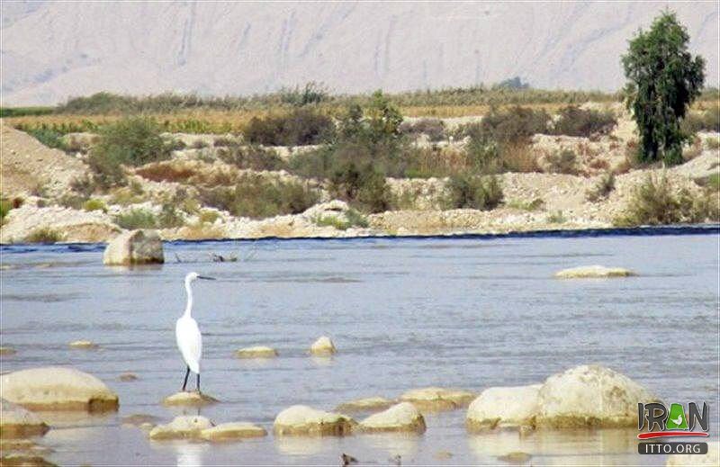
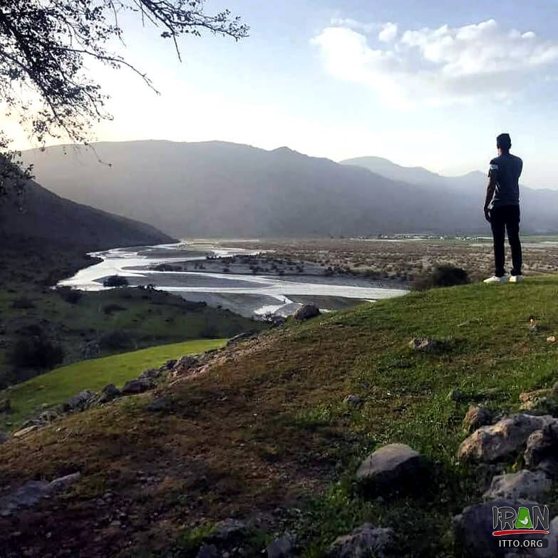
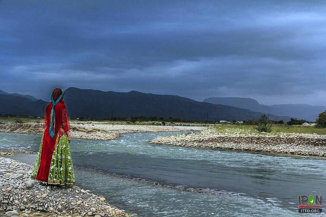
The course of this river is one of the most attractive landscapes of the region and its banks are used as recreational areas.
Fahlian River,Fahlyan River,Fahlian,fahilan,fahylan,fahilan river,فهیلان ریور,فهلیان ریور,rood fahilan,رودفهیلان,رودفهلیان,fahlian river
Fahliyan River
Fahliyan River is formed by the adjoining of the "Shesh Peer" and "Rood Peer" Rivers and after passing the Qaleh Sefid Mount, enters the Fahlian Plain.
Mamasani Attractions & Tourist Information
Nurabad Mamasani Located to the west of Shiraz in Fars Province, it has a rather cold climate in north and warm in the south. In old history books, Mamasani was mentioned as"Shoulestan", derivated from Shoul, which was one of Lur tribes. Nurabad is located 58.7 kilometres ...
EXPLORE OTHER ATTRACTIONS IN Mamasani
Kurangun Relief is located in Fars Province and is a site of an Elamite rock reliefs. This relief shows a God with horned crown sitting on a throne. Behind him ...
Opposite the Saravan Village, there are ruins relevant to the Achaemenian Dynasty. The 90 cm. base pillars with the same ornamental engravings of the Takht-e-Jamshid ...
This castle is located 8 km. from the hilly village of Kalgeh and is surrounded by the Ena and Sejak Gorges from which the Fahliyan River crosses by. It is believed ...
This castle is located 15 km. north of Noor-Abad, it dates back to the Elamite era. It is believed that in 5th century, it was one of the famous castles of Esmailians ...
This promenade is located 7 kilometers from the Noor Abad Tower (Fire-Temple) with wonderful orchards, gardens and several springs. The area is full of various ...
Category: Springs
This spring is located near the Chenar Shahijan-Noor Abad Road. It has mineral water containing sulphur which is equally efficient in curing diseases.
ON THE SAME CATEGORY
The Zayandeh Rood (Zayanderud or Payandehrud) is one of the most important rivers of the central plateau of Iran. This Rivere has come to be known by this name, ...
Afrineh Waterfall (Pol-e-Dokhtar)
Category: Waterfalls, Rivers
Afrineh waterfall is located in Lorestan province, in the path from Khorram Abad to Pol Dokhtar. Afrineh waterfall is located in a village with the same name. this ...
Arvand Rud River (Khorramshahr)
Category: Rivers
The Arvand Rudd River flows in the townships of Khoram Shahr, Abadan and to the west of the Minoo Island (Minushahr). This river is known as the Shatt al-Arab (Shat-ol-arab) ...
Aras River (Jolfa)
Category: Rivers
ARAS River (Rood-e ARAS) is the most important and largest river in the northern section of the province of East Azarbayjan. The length of the said being 1,072 ...
Germou (Hot Spring) (Khalilabad)
The hot spring of Khalilabad (Germou or Garmoo), 240 km southwest of Mashhad, with a temperature of 25° C, is said to be particularly beneficial for dermatological ...
Jajrood River (Tehran)
Category: Rivers
Jajrood (Jajrud river) is one of the most important Rivers of Tehran province which originate from Kaloon Bastak Mountains in Mazandaran Province. After irrigating ...
REVIEWS
Loading Content
Your Name [required]:
Your Email [required]:
Subject:
Your Message:
Please enter this code:
SEND
Copyright 1995-2005, Iran Tourism and Touring Organization, 2005-2025 Iran Travel, Tourism and Touring Online NGO. All rights reserved.